


Tropical storm Helen leaves PAR


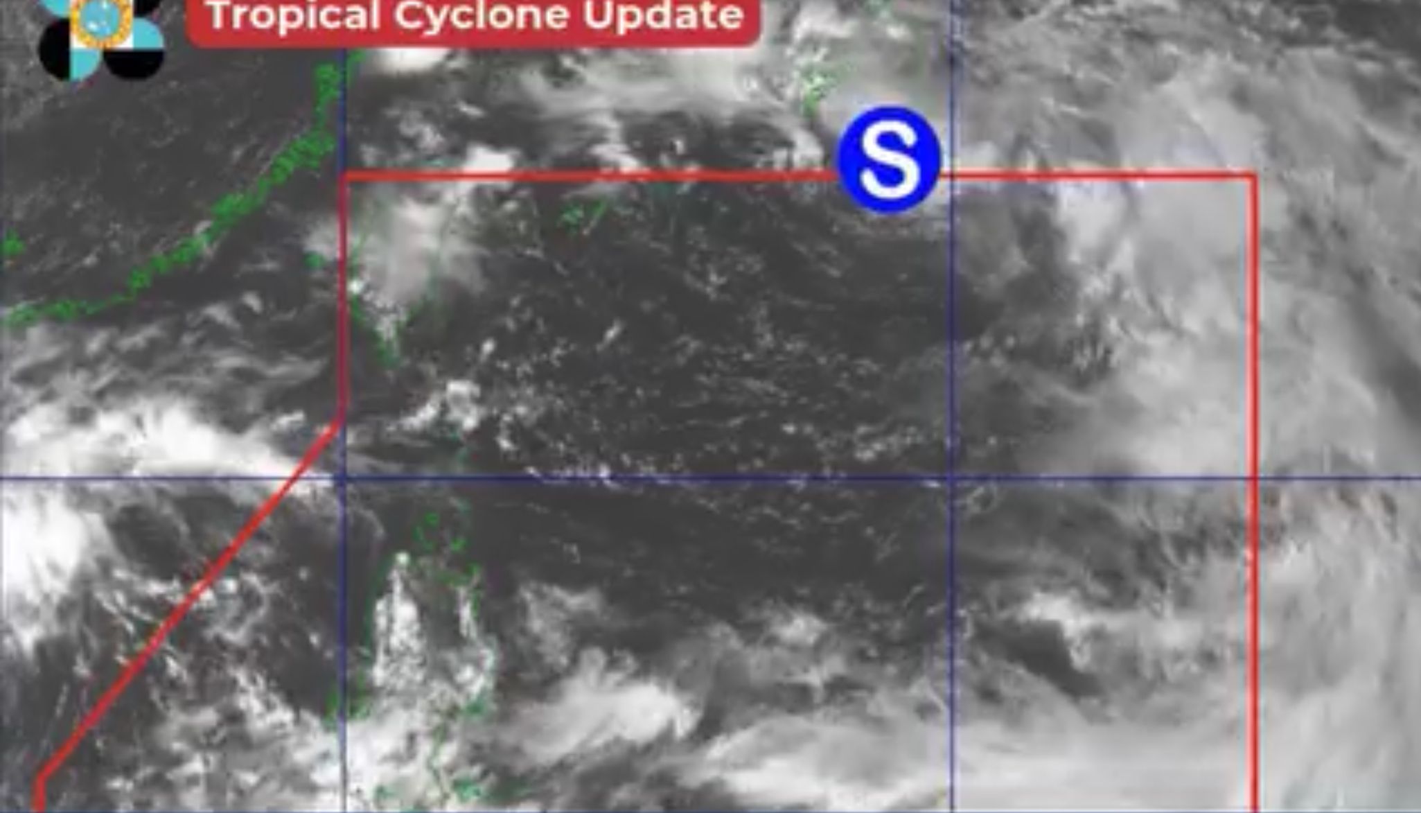
The Philippine Atmospheric, Geophysical and Astronomical Services Administration (PAGASA) said Tropical Storm “Helen” (international name “Pulasan”) left the country’s area of responsibility at 5 p.m. on Wednesday, Sept. 18.
PAGASA last located the center of the storm 930 kilometers east-northeast of extreme northern Luzon.
It has maximum sustained winds of 85 kilometers per hour (kph) near the center and gusts of up to 105 kph.
Although the weather disturbance is expected to stay distant from the country’s landmass, PAGASA said the southwest monsoon, or “habagat,” may still be enhanced by Helen and Tropical Depression “Gener,” outside the Philippine Area of Responsibility (PAR).
Over the next 24 hours, heavy to intense monsoon rains may persist in Zambales, Bataan, Occidental Mindoro, and northern Palawan.
Meanwhile, occasional light to heavy rains may prevail across Western Visayas, the rest of Central Luzon, the rest of Palawan, Oriental Mindoro, Marinduque, and Romblon.
PAGASA said Metro Manila and the rest of Luzon may experience scattered light to heavy rains.
The rest of the country will be partly cloudy to cloudy with isolated rain showers or thunderstorms.
Based on PAGASA’s two-week tropical cyclone threat potential forecast, there is a low to medium chance that a tropical cyclone may form within the PAR in the coming days.