


Mandaluyong City holds seminar for first responders


Various first responders of the local government of Mandaluyong which include barangay emergency responders, volunteer organizations, and even members of the Bureau of Fire Protection (BFP) attended a training program on essential planning and operating procedures during emergencies on Wednesday, August 28.
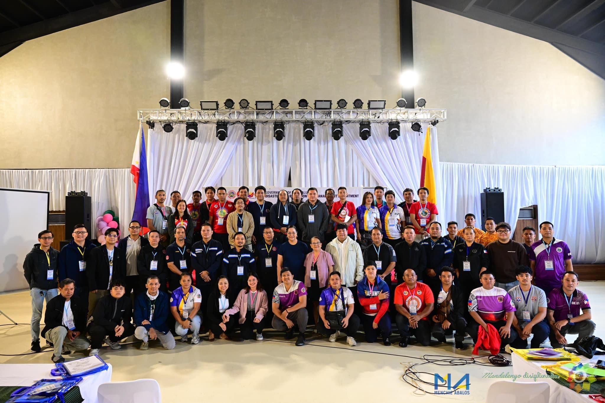
(Photo from Vice Mayor Menchie Abalos)
Spearheaded by Mandaluyong Vice Mayor Menchie Abalos, the Basic Incident Command System Training Course underscored the importance of having effective communication among the branches of government during calamities and disasters.
Valenzuela Disaster Risk Reduction and Management (DRRM) official Glenn Mark Lanozo and Office of Civil Defense-NCR official Edna Conda were the resource speakers during the event.
During the onslaught of Typhoon Carina and the enhanced southwest monsoon on July 24, almost the whole National Capital Region (NCR) was flooded due to non-stop torrential rains brought about by the weather disturbances.
With the help of the city's Flood Coding System and Project MENCHIE (Mandaluyong Enhance Monitoring of Natural hazards and Climate for Household Information and Education), the deployment of rescue teams and other emergency personnel became more efficient, saving numerous lives of Mandaleños during the storm.
Some of the improvements made in Project MENCHIE include a Multi-Disaster Automated Risk Assessment Generator for data such as heat index, six-hour rain forecast, and six-hour accumulated rain for a specific barangay.
This map-based multi-risk assessment generator provides barangay-level color-coded risk assessment for both observed and forecast weather events which updates every 10 minutes, giving residents an idea on which barangays are currently experiencing and will expect heavy rains or extreme heat.
The generator also shows other possible hazards that can affect the Greater Metro Manila Area (GMMA) such as earthquake-induced landslide, flood, ground rupture, ground shaking, liquefaction, rain-induced landslides, storm surge, and tsunami.
Every risk assessment generated by the system is recorded and the datasets can be downloaded and used by students in their studies and research.
Another upgrade of the system is its capability to send alerts via SMS, which are also emailed to barangay officials, to warn them 15 to 30 minutes in advance if there are incoming lightning strikes and thunderstorms in their vicinity.
This gives barangay officials the capability to disseminate warnings or alerts to their respective constituents. They will also receive via email a 24/7 daily weather forecast summary which they can easily disseminate to the community.