


 Philippines
Metro Manila
Muntinlupa, PHIVOLCS to sign accord to install continuous GPS to measure earthquakes
Philippines
Metro Manila
Muntinlupa, PHIVOLCS to sign accord to install continuous GPS to measure earthquakes
Muntinlupa, PHIVOLCS to sign accord to install continuous GPS to measure earthquakes


The Muntinlupa City government will sign an agreement with the Philippine Institute of Volcanology and Seismology (PHIVOLCS) to install a continuous global positioning system (CGPS) at a school in the city aiming to measure earthquakes.
The Muntinlupa City Council approved Resolution 2024-473 authorizing Mayor Ruffy Biazon to sign a memorandum of agreement with PHIVOLCS to install and maintain a CGPS within the premises of the Muntinlupa City Technical Institute (MCTI) in Barangay Putatan.
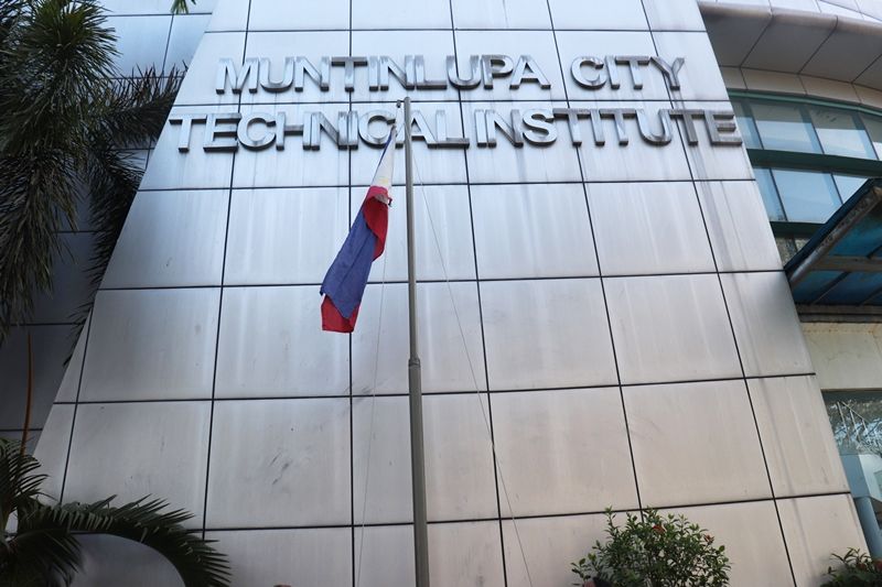
The Muntinlupa City Technical Institute (Photo from MCTI's Facebook page)
A West Valley Fault line (Jonathan Hicap)
“Geotectonic phenomena such as earthquake may be measured by a continuous Global Positioning System (CGPS) which measures elevation or elevation-change that are fundamental to monitoring land subsidence,” according to the resolution
It added, “The CGPS, installed in a vantage point will continuously measure the three-dimensional (3D) position of a point on, or more specifically, near the earth's surface.”
The resolution stated that the MCTI “has an available facility that is best suited to host one continuous GPS receiver, it being strategic in site which will contribute to the leveraging of existing data and has viable infrastructure to support the new GPS network.”
“The fruition of the project according to the stipulations of the MOA, will likely enhance the agency's capability in earthquake prediction and response, thereby contributing to better disaster preparedness and potentially minimizing the impact of natural disasters on the community,” it added.