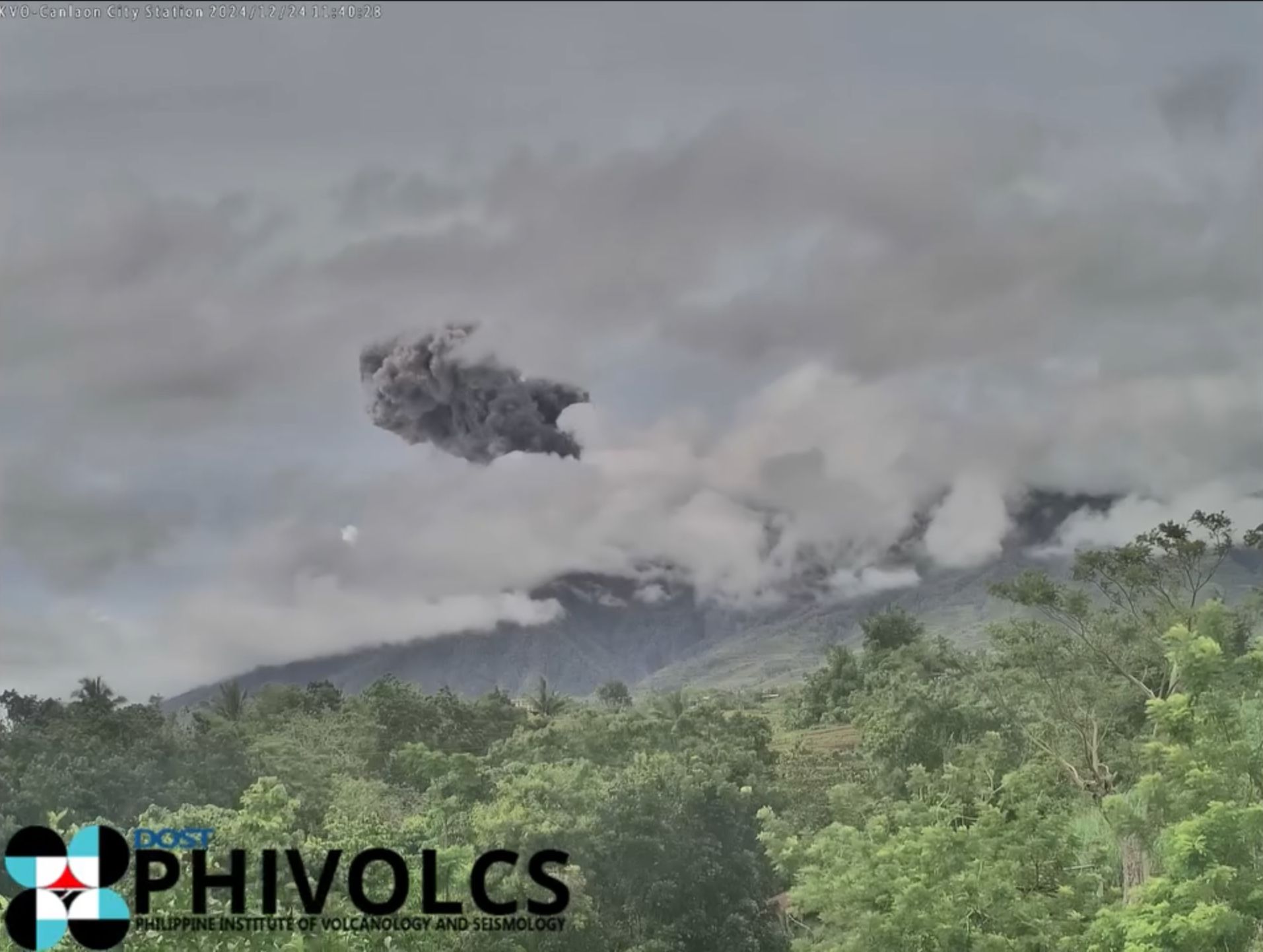
Kanlaon Volcano had 7 ash emission events in the past 24 hours — Phivolcs

The Philippine Institute of Volcanology and Seismology (Phivolcs) said on Wednesday, Dec. 25 that Kanlaon Volcano spewed ash seven times between Tuesday, Dec. 24, and Wednesday, Dec. 25.
The ash emissions lasted from three minutes to two hours and 26 minutes.
Phivolcs also noted that Kanlaon had 25 volcanic earthquakes, including five tremors that lasted between three and 40 minutes.
In addition, its sulfur dioxide emissions remained elevated at 3,585 tons, as measured on Tuesday.
Phivolcs observed a “voluminous” 1,200-meter-high plume, attributed to continuous degassing and occasional ash emissions.
The agency reiterated that Alert Level 3 (magmatic unrest) remains in effect due to the increased risk of sudden and stronger explosive eruptions, which could endanger nearby communities with life-threatening volcanic hazards.
Communities within a six-kilometer radius of the summit crater are urged to remain evacuated due to the dangers of pyroclastic density currents, ballistic projectiles, ashfall, lava flows, rockfalls, and other related hazards.
Local government units and disaster risk and reduction management (DRRM) councils are also urged to monitor weather conditions closely.
In the event of heavy rainfall, Phivolcs said lahars and sediment-laden streamflows may form in channels draining the volcano’s southern flanks.
Barangays in La Castellana and Canlaon City, as well as other downstream areas that were affected by lahars and muddy streamflows in June, are at risk for channel-confined lahars if heavy rains occur, it added.
Civil aviation authorities have also been advised to restrict pilots near the volcano’s summit, as ash from any sudden eruption could pose a serious hazard to aircraft.
Local government units and DRRM councils are advised to prepare for potential evacuations in communities identified in the pyroclastic density currents hazard map in case volcanic unrest escalates further, and a worst-case explosive eruption becomes imminent.