Two recent strong weather disturbances – severe tropical storm Kristine and super typhoon Leon – have added to the reminders of nature’s wrath. Coming a day after Kristine had caused a death toll of over a hundred, and some ₱9 billion in damages to properties and crops, Leon blew in, raising tropical cyclone wind signal No. 5 in extreme northern Luzon.
The disaster preparedness of government and private individuals was again tested as it had been many times before. Yet, there were still individuals who were caught in unsafe situations that could have been avoided. To be better prepared for calamities, there’s a factor that private individuals should master – reading the signs of a weather disturbance.
Here’s a review of some of the basic facts on how, and where, to look for information on what’s coming to prepare for a storm:
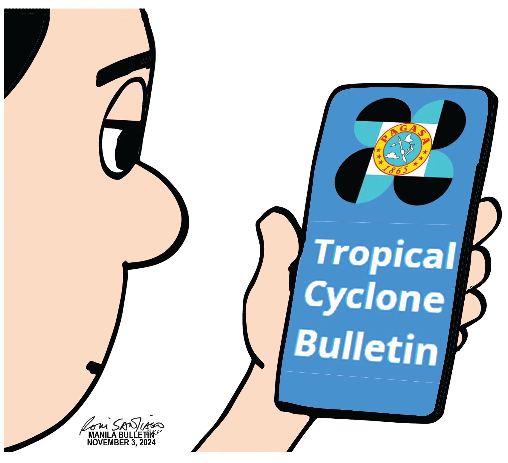
Start by checking the Philippine Atmospheric, Geophysical and Astronomical Services Administration’s (PAGASA) tropical cyclone bulletins, which provide updates every six hours – at 5 a.m., 11 a.m., 5 p.m., and 11 p.m. These bulletins detail the forecast track of the cyclone, indicating where landfall may occur and which areas will be affected.
Look for wind signals that show the strength of the cyclone’s winds and their potential impacts on your area. PAGASA has defined the classifications of tropical cyclones as:
- A tropical depression (TD) is a tropical cyclone with maximum sustained winds of up to 62 kilometers per hour (kph).
- A tropical storm (TS) has maximum wind speed of 62 to 88 kph.
- A severe tropical storm (STS) has maximum wind speed of 87 to 117 kph.
- A typhoon (TY) has maximum wind speed of 118 to 184 kph.
- A super typhoon (STY) has maximum wind speed exceeding 185 kph.
The reports also include information about the sea situation, warning of high waves to help one decide if it is safe for maritime activities like fishing or sea travel.
A separate heavy rainfall outlook is issued, informing of areas which will receive rain and how much, typically covering the next three days.
“Kristine” was called a “severe storm” and had not even reached typhoon category, caused heavy rainfall. In just 24 hours, from 8 a.m. on Oct. 22, to 8 a.m. on Oct. 23, the PAGASA monitoring station in Daet, Camarines Norte recorded 528.5 millimeters of rain – more than a month’s worth of rainfall for October, in the area.
During the same period, the PAGASA station in Legaspi City, Albay, measured 431 millimeters of rain, also exceeding the typical monthly total for October in that city.
It is not only the category of “storm” or “typhoon” that should warn of what can happen with the strength of the wind. Heavy rains that continue for hours should warn of flooding, which was the case of severe tropical storm Kristine.
When the storm is near land, tropical cyclone bulletins will be issued every three hours. There will also be updates at 8 a.m., 2 p.m., 8 p.m., and 2 a.m.
It is important that private individuals will make time to gather information about any weather disturbance, and will act responsibly to prepare for it. Outdoor activities that may put one in harm’s way will require rescuers to risk their lives just to save people who did not act according to a forecast.
Use to your advantage – and safety – the knowledge on how to read the signs of the possible destruction a tropical cyclone can bring.