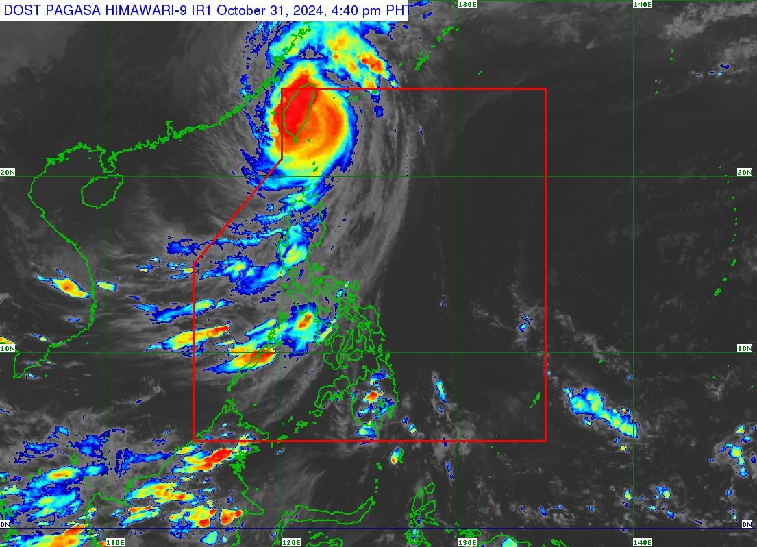
'Leon' to exit PAR soon; wind signals remain in 3 areas

The Philippine Atmospheric, Geophysical and Astronomical Services Administration (PAGASA) said Typhoon “Leon” (international name: Kong-rey) is expected to exit the Philippine Area of Responsibility (PAR) between Thursday evening, Oct. 31, and early Friday morning, Nov. 1.
In its 5 p.m. bulletin on Friday, PAGASA said Leon has made landfall over southeastern Taiwan, packing maximum sustained winds of 155 kilometers per hour (kph) near its center and gusts reaching 255 kph.
As of 4 p.m., the typhoon was located 320 kilometers north-northwest of Itbayat, Batanes, and is moving northwestward at 25 kph.
Strong winds from Leon are still affecting parts of Northern Luzon, thus Signal No. 2 remains in effect for northern Batanes, while Signal No. 1 is still raised for the rest of Batanes, Babuyan Islands, northern portion of mainland Cagayan, and northern portion of Ilocos Norte.
Heavy to intense rains may continue to affect Batanes and Babuyan Islands in the next 24 hours.
Meanwhile, the trough or extension of Leon may bring scattered light to moderate rain showers and thunderstorms to Metro Manila and the rest of Luzon.
Visayas and Mindanao will have partly cloudy to cloudy conditions with isolated rain showers due to localized thunderstorms.