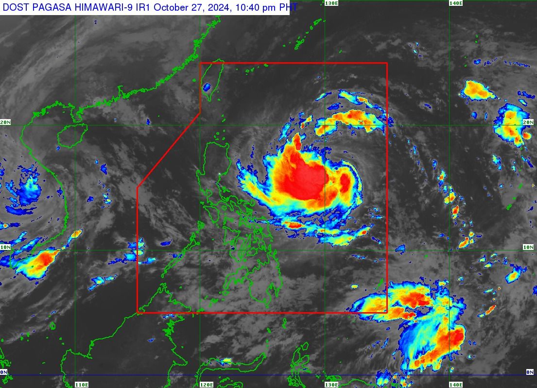
The Philippine Atmospheric, Geophysical and Astronomical Services Administration (PAGASA) raised Tropical Cyclone Wind Signal No. 1 over three areas in Cagayan Valley and Bicol Region on Sunday evening, Oct. 27, as Tropical Storm “Leon” (international name: Kong-rey) further intensified while moving west over the Philippine Sea.
In the PAGASA’s 11 p.m. bulletin, Signal No. 1 was raised in the eastern portion of mainland Cagayan (Santa Ana, Lal-Lo, Gattaran, Baggao, Santa Teresita, Gonzaga, Peñablanca), eastern portion of Isabela (Maconacon, Divilacan, Ilagan City, San Pablo, Cabagan, Tumauini, Palanan, San Mariano, Dinapigue), and northeastern portion of Catanduanes (Pandan, Bagamanoc, Panganiban, Viga).
Leon currently has maximum sustained winds of 85 kilometers per hour (kph) near the center and gustiness of 105 kph, up from 75 kph maximum winds and 90 kph gusts, previously.
As of 10 p.m., the center of the eye of the storm was located 915 kilometers east of Central Luzon. Leon is moving westward at 20 kph.
While Leon is expected to remain distant from the Philippine landmass, PAGASA said its outer rainbands could impact the extreme northern part of Luzon.
Its trough or extension may also affect parts of Visayas, Mindanao, and western section of Southern Luzon.
PAGASA said Leon may continue to intensify over the next 24 hours, reach severe tropical storm status by Monday, Oct. 28, and typhoon intensity by Tuesday, Oct. 29.