


 Philippines
National
PAGASA raises Signal No. 1 as tropical depression Kristine enters PAR
Philippines
National
PAGASA raises Signal No. 1 as tropical depression Kristine enters PAR
PAGASA raises Signal No. 1 as tropical depression Kristine enters PAR


At A Glance
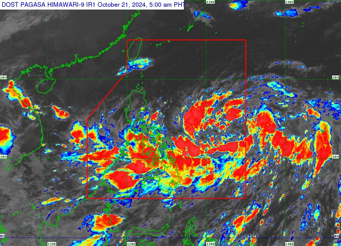
- Kristine entered the Philippine Area of Responsibility (PAR) early Monday morning and was located 1,050 kilometers east of southeastern Luzon around 5 a.m.
- PAGASA said Kristine may make landfall in Northern Luzon by Friday afternoon, Oct. 25.
- The weather bureau warned that Signal No. 4 may be raised as Kristine approaches typhoon status ahead of its landfall.
The Philippine Atmospheric, Geophysical and Astronomical Services Administration (PAGASA) on Monday, Oct. 21 raised Tropical Cyclone Wind Signal No. 1 over Catanduanes and the northern part of Northern Samar due to the arrival of tropical depression “Kristine.
Kristine entered the Philippine Area of Responsibility (PAR) early Monday morning and was located 1,050 kilometers east of southeastern Luzon around 5 a.m.
It has maximum sustained winds of 55 kilometers per hour (kph) near the center, with gusts reaching up to 70 kph. The tropical depression is expected to move west-southwestward at 30 kph.
PAGASA said Kristine may make landfall in Northern Luzon by Friday afternoon, Oct. 25.
The weather bureau warned that Signal No. 4 may be raised as Kristine approaches typhoon status ahead of its landfall in the northeastern part of Cagayan.
In the next 24 hours, Kristine is likely to bring scattered rains and thunderstorms to Bicol Region, Eastern Visayas, and Quezon province.
The trough or extension of Kristine may also result in cloudy conditions and scattered rains and thunderstorms across Metro Manila, Cavite, Laguna, Batangas, Rizal, Mimaropa, Zamboanga Peninsula, Northern Mindanao, Caraga, Basilan, Sulu, Tawi-Tawi, and the rest of Visayas.
PAGASA warned of possible flash floods and landslides in areas affected by the tropical depression due to moderate to heavy rainfall.
The rest of the country can expect partly cloudy to cloudy skies with isolated rain showers or thunderstorms.
The public is also advised to remain vigilant against flash floods or landslides during severe thunderstorms.