


Typhoon Hanna exits PAR
Wind signals lifted


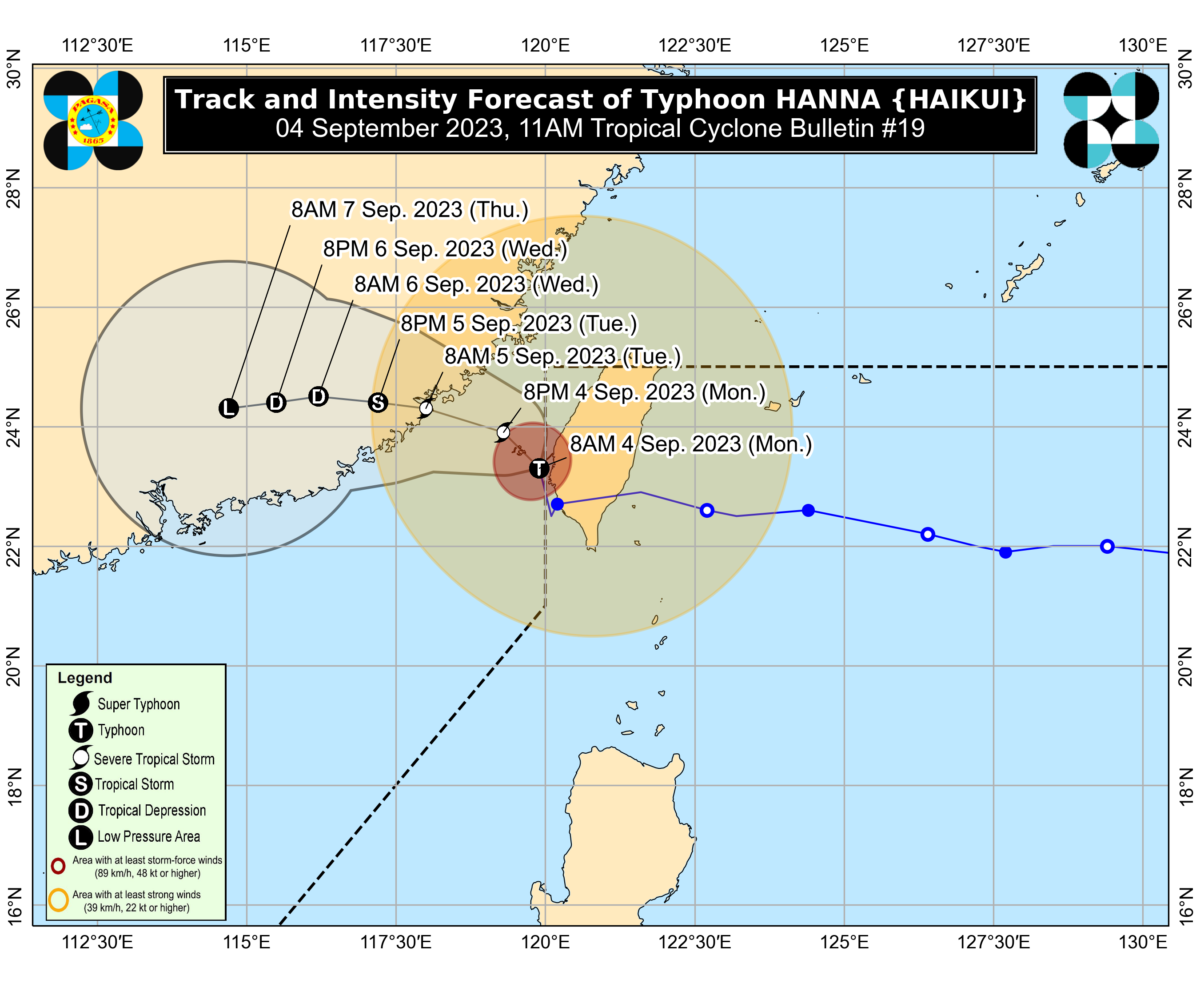
Typhoon Hanna (international name: Haikui) left the country’s area of responsibility at 8 a.m., Monday, Sept. 4, said the Philippine Atmospheric, Geophysical and Astronomical Services Administration (PAGASA).
In its 11 a.m. bulletin, PAGASA last spotted Hanna 360 kilometers northwest of Itbayat, Batanes.
It maintained its maximum sustained winds of 120 kilometers per hour (kph) near the center and gusts of up to 150 kph.
As typhoon Hanna moves away from the country, tropical cyclone wind signals were also lifted on Monday morning.
‘Hanna’ to stir ‘habagat’ rains
Meanwhile, Hanna may continue to enhance the effect of the southwest monsoon or “habagat,” which may bring occasional rains to western Luzon over the next three days.
In the next 24 hours, Pangasinan, Zambales, and Bataan may continue to experience heavy to intense rains (100-200 millimeters).
Occasional moderate to heavy rains (50-100 millimeters) may also prevail over Metro Manila, Ilocos Norte, Ilocos Sur, La Union, Abra, Benguet, Tarlac, Nueva Ecija, Pampanga, Bulacan, Rizal, Cavite, Batangas, Occidental Mindoro, and Calamian Islands.
The rest of Luzon and Antique may also have scattered moderate to, at times, heavy rains and thunderstorms.
On Tuesday, Sept. 5, occasional moderate to heavy rains may continue to affect Metro Manila, Ilocos Norte, Ilocos Sur, La Union, Pangasinan, Abra, Benguet, Zambales, Bataan, Tarlac, Nueva Ecija, Pampanga, and Bulacan.
On Wednesday, Sept. 6, Ilocos Norte, Ilocos Sur, La Union, Pangasinan, and Zambales may continue to experience moderate to heavy rains.
“Under these conditions, flooding and rain-induced landslides are possible, especially in areas that are highly or very highly susceptible to these hazards,” PAGASA warned.
Weather conditions in other areas that have been affected by monsoon rains may gradually improve by Wednesday.