


 Philippines
National
Signal No. 2 lifted as 'Goring' weakens into typhoon; re-intensification into super typhoon possible
Philippines
National
Signal No. 2 lifted as 'Goring' weakens into typhoon; re-intensification into super typhoon possible
Signal No. 2 lifted as 'Goring' weakens into typhoon; re-intensification into super typhoon possible


At A Glance
- Although it may gradually weaken in the next 12 hours due to the upwelling of cooler ocean waters and onset of dry air intrusion, PAGASA said Goring may re-intensify into a super typhoon as it turns northwestward by mid-Tuesday.
- Based on the latest forecast track, Goring will make a close approach to Batanes between Wednesday morning and evening, Aug. 30, with a possible landfall scenario not ruled out, before moving to the southern portion of Taiwan between Wednesday evening and Thursday morning, Aug. 31.
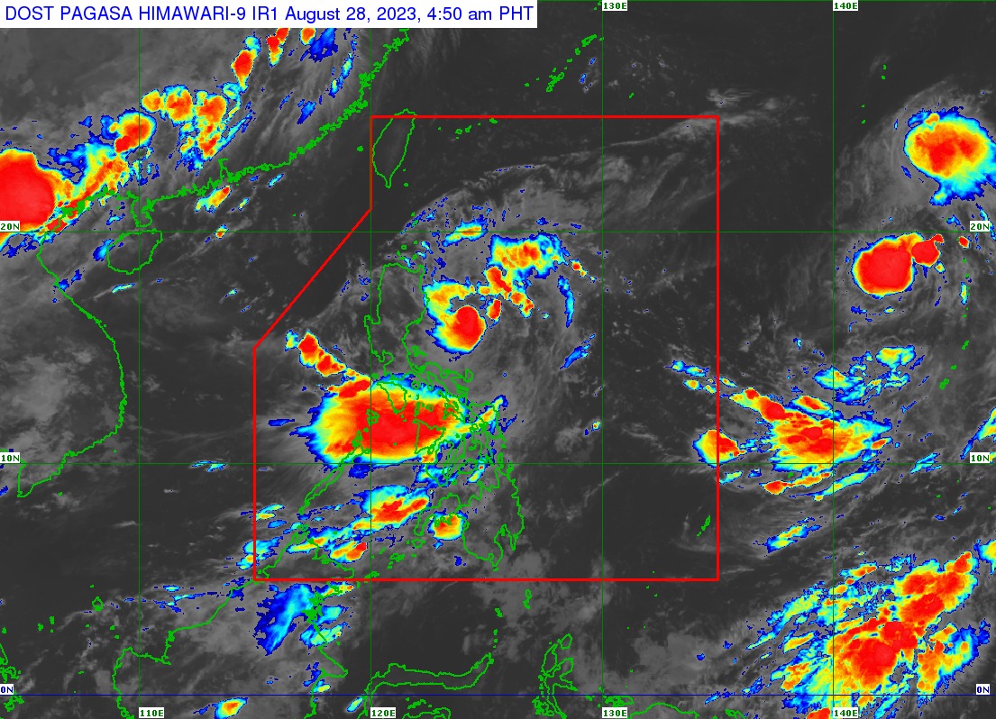
The Philippine Atmospheric, Geophysical and Astronomical Services Administration (PAGASA) on Monday morning, Aug. 28 downgraded the tropical cyclone wind warnings to Signal No. 1, as “Goring” (international name: Saola) weakened into a typhoon.
In the PAGASA’s 5 a.m. bulletin, Goring has maximum sustained winds of 175 kilometers per hour (kph) near the center and gusts of up to 215 kph.
Goring was last seen 210 kilometers east of Casiguran, Aurora, moving east-southeastward at 15 kph.
Signal No. 1 remains hoisted over Batanes, Babuyan Islands, northern and eastern portions of mainland Cagayan, eastern portion of Isabela, northern and central portions of Aurora, Polillo Islands, northern and eastern portions of Camarines Norte, including Calaguas Islands, northeastern portion of Camarines Sur, and northern portion of Catanduanes.
PAGASA said higher wind signals may still be raised over extreme Northern Luzon and the northeastern portion of mainland Cagayan Monday or Tuesday, Aug. 29 as Goring makes a counter-clockwise loop over the Philippine Sea.
“Hoisting of Wind Signal No. 3 or 4 over the Batanes-Babuyan Islands area is not ruled out,” it pointed out.
Landfall not ruled out
PAGASA said that due to its looping track, Goring may continue to move northeastward and northward, then northwestward on Tuesday towards the Bashi Channel and the vicinity of Batanes.
Based on the latest forecast track, the typhoon will make a close approach to Batanes between Wednesday morning and evening, Aug. 30, with a possible landfall scenario not ruled out, before moving to the southern portion of Taiwan between Wednesday evening and Thursday morning, Aug. 31.
Although it may gradually weaken in the next 12 hours due to the upwelling of cooler ocean waters and onset of dry air intrusion, Goring may re-intensify into a super typhoon as it turns northwestward by mid-Tuesday.
“Goring may pass close to Batanes at or near its peak intensity,” PAGASA pointed out.
Heavy rains
PAGASA said Goring may continue to bring heavy rains (50 to 100 millimiters) to Batanes, Babuyan Islands, and the northern portions of mainland Cagayan, Apayao, and Ilocos Norte in the next 24 hours.
By Wednesday, Batanes may receive torrential rains (greater than 200 millimeters), while the Babuyan Islands may experience intense rains (100 to 200 millimiters).
Heavy rains may persist in the northern portions of mainland Cagayan, Apayao, and Ilocos Norte.
The southwest monsoon, or “habagat,” enhanced by Goring will also bring occasional or monsoon rains over the western portions of Central Luzon, Southern Luzon, and Visayas over the next three days.
PAGASA said the typhoon may exit the Philippine area of responsibility (PAR) by Thursday.
Tropical depression outside PAR
Meanwhile, the tropical depression near the PAR was last spotted 2,290 kilometers east of Northern Luzon.
It has maximum sustained winds of 45 kph and gusts of up to 55 kph, and was moving westward slowly.
PAGASA said the tropical depression is still less likely to make landfall, but it may enhance the habagat in the coming days.