


Magnitude 4.6 quake jolts Sarangani — Phivolcs


A 4.6-magnitude earthquake jolted Sarangani at around 8:10 a.m., Tuesday, Nov. 14, said the Philippine Institute of Volcanology and Seismology (Phivolcs).
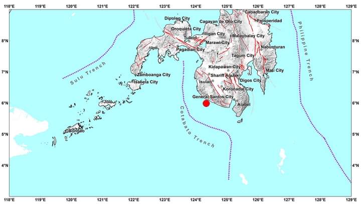
Phivolcs said the earthquake struck at a depth of 21 kilometers (km) beneath the epicenter, which was 27 km southwest of Maitum, Sarangani.
The quake was felt at Intensity V (strong) in Kiamba and Maasim, Sarangani.
It was also experienced at Intensity IV (moderately strong) in Maitum, Sarangani, and T,boli in South Cotabato.
The quake was felt at Intensity III (weak) in General Santos; Polomolok, Tupi, City of Koronadal and Lake Sebu, South Cotabato; and Senator Ninoy Aquino, Sultan Kudarat.
The quake was slightly felt at Intensity II in Alabel, Malungon, Malapatan and Glan, Sarangani; Tampakan, Santo Niño and Surallah, South Cotabato; and Isulan and Bagumbayan, Sultan Kudarat.
The quake was scarcely perceptible (Intensity I) in Columbio and Esperanza, Sultan Kudarat.
Its instruments also recorded the tremor at Intensity V (strong) in Kiamba, Sarangani; Intensity IV (moderately strong) in General Santos City; Intensity III in Polomolok, South Cotabato; Malungon and Maasim in Sarangani; Intensity II (slightly felt) in Alabel, Glan and Malapatan in Sarangani; Don Marcelino in Davao Occidental; and Tampakan, Lake Sebu, City of Koronadal and Santo Niño, South Cotabato; and Intensity I (scarcely perceptible) in Tantangan, Surallah and Tupi in South Cotabato; Columbio, Sultan Kudarat; and Pikit, Cotabato.
Phivolcs said the earthquake was tectonic, which means it was caused by the movement of an active fault near the area.
However, it does not expect aftershocks due to this earthquake.