


 Philippines
National
'Julian' weakens into LPA, exits Philippine area of responsibility
Philippines
National
'Julian' weakens into LPA, exits Philippine area of responsibility
'Julian' weakens into LPA, exits Philippine area of responsibility


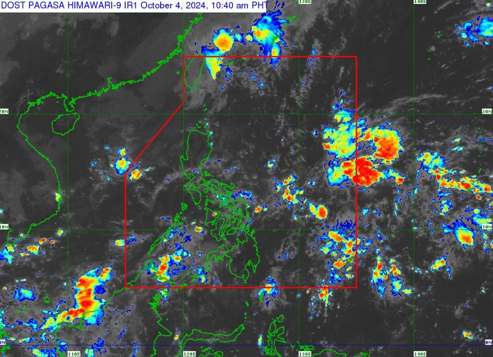
After pounding the northern portion of Luzon, Tropical depression “Julian” (international name “Krathon”) has fizzled out into a Low Pressure Area (LPA) and exited the Philippine Area of Responsibility (PAR) on Friday, Oct. 4.
The Philippine Atmospheric, Geophysical and Astronomical Services Administration (PAGASA) reported that Julian weakened into a remnant low around 8 a.m. and is expected to merge with a frontal system over Taiwan.
As of 11 a.m., the LPA was located 480 kilometers north of Itbayat, Batanes, or outside the PAR.
PAGASA does not expect the formation of a new LPA or tropical cyclone inside the PAR over the weekend. Therefore, generally fair weather, aside from isolated rain showers and thunderstorms, may prevail throughout the country.
Over the next 24 hours, Bicol Region, Visayas, and Zamboanga Peninsula may experience cloudy skies with scattered rains and thunderstorms due to the intertropical convergence zone (ITCZ)—a weather system where winds from the northern and southern hemispheres converge.
The easterlies, or warm winds from the Pacific Ocean, may bring partly cloudy to cloudy skies with isolated rain showers or thunderstorms to Ilocos Region, Cordillera Administrative Region, Cagayan Valley, and Central Luzon.
The rest of the country will also be partly cloudy to cloudy with isolated rain showers due to the ITCZ.