


 Philippines
National
Trough of 'Kristine' to affect western section of Southern Luzon — PAGASA
Philippines
National
Trough of 'Kristine' to affect western section of Southern Luzon — PAGASA
Trough of 'Kristine' to affect western section of Southern Luzon — PAGASA


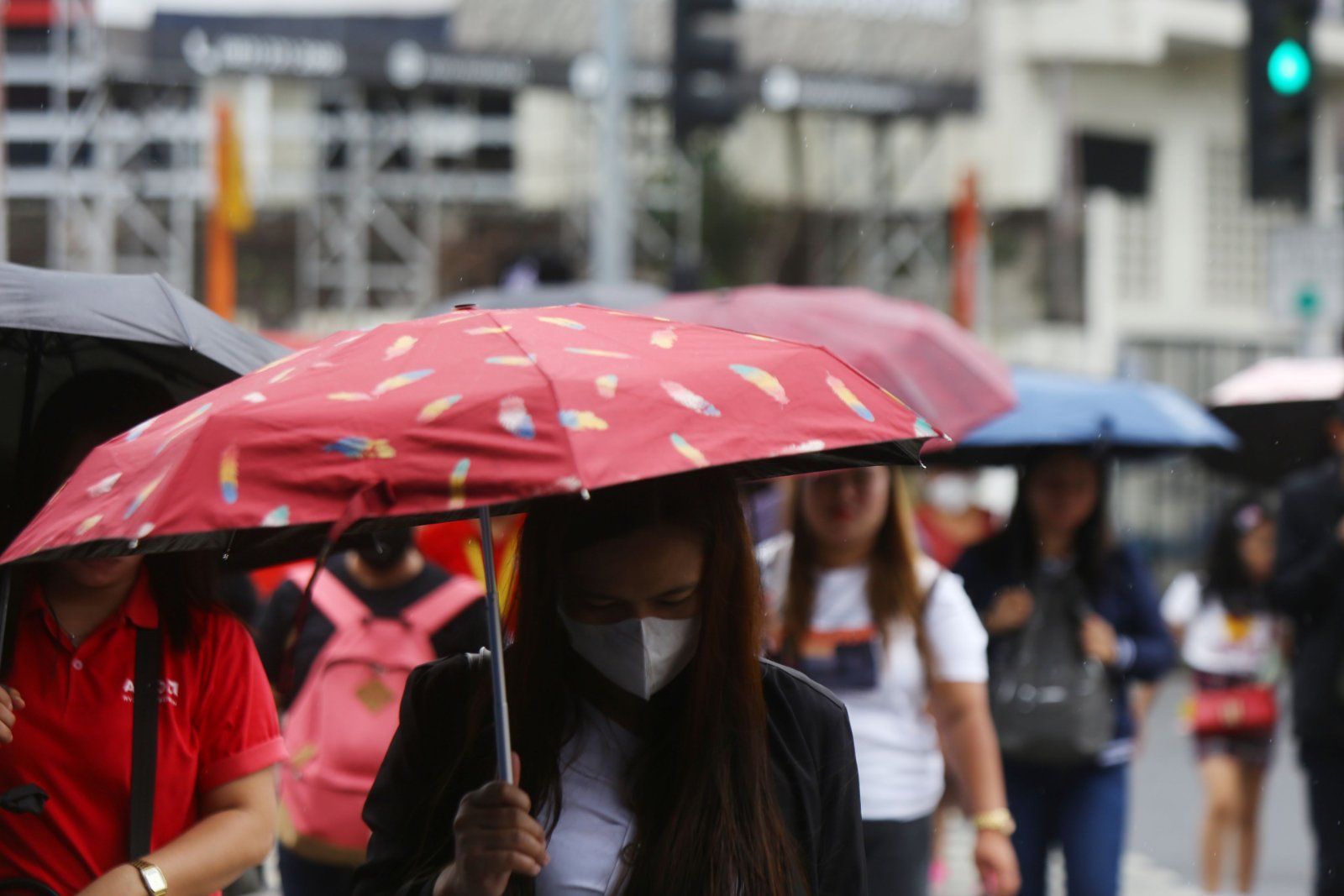
Scattered rains and thunderstorms are expected in areas of Southern Luzon on Saturday, Oct. 26, due to the trough of Severe Tropical Storm “Kristine.”
In its latest weather bulletin, the Philippine Atmospheric, Geophysical, and Astronomical Services Administration (PAGASA) reported that the trough of STS “Trami” (international name), formerly known as “Kristine,” is likely to affect the western section of Southern Luzon.
At 3 a.m., “Kristine” was spotted outside the Philippine Area of Responsibility (PAR), located west of Bacnotan, La Union, with maximum sustained winds of 95 kilometers per hour (km/h) and gustiness of up to 115 km/h.
PAGASA is also monitoring Tropical Storm "Kong-rey", located east of Central Luzon. "Kong-rey" has maximum sustained winds of 65 km/h near the center and gustiness of up to 80 km/h, moving northwestward at 35 km/h.
Weather update
The trough of “Kristine” will bring cloudy skies with scattered rains and thunderstorms over Occidental Mindoro and Palawan.
Cloudy weather with scattered rains and thunderstorms, due to a southwesterly wind flow, is also expected in the Visayas, Zamboanga Peninsula, Northern Mindanao, and Caraga.
Meanwhile, Metro Manila and the rest of the country will have partly cloudy to cloudy skies with isolated rain showers or thunderstorms due to localized conditions.
PAGASA warned that flash floods or landslides may occur due to moderate to heavy rains or severe thunderstorms.
Thunderstorm notice
PAGASA advised that thunderstorms are likely to develop within 12 hours over Metro Manila, Bulacan, Rizal, Laguna, and Cavite.
Moderate to heavy rain showers, accompanied by lightning and strong winds, are expected in these areas.
PAGASA urged residents to monitor weather conditions and be ready to take necessary action if required.